
Construction & Infrastructure
One shared map for every snag, check and photo on site.
Give the whole site one plan where every snag, inspection and progress photo is a pin that keeps its place. Find what happened where months later, and hand over a record nobody can argue with.


Every snag, inspection and photo, in one place.
Site work runs on where. The snag at the far end of level three, the hold point the inspector signed, the buried service nobody wants to hit, the progress shot that proves the pour. Too often that lands in a group chat and a spreadsheet, with no reliable location and no way to find it a week later. So a snag never reaches the trade that fixes it, a photo cannot be tied to the spot it was taken, and on a large or linear job where the whole problem is where, coordination comes down to someone who happened to walk that section. Put the site plan on the map and pin every snag, check and photo to the spot it belongs, and the site manager, the subcontractor and the inspector see the same thing. Capture it on the phone where you stand, and the located record is ready for handover and for any dispute about what was done where.
Map the site and its logistics.
Drop the gates, one-way routes, laydown, welfare, hazards and buried services onto one plan the whole site can read. Everyone works from the same map, not a drawing that went out of date two revisions ago.
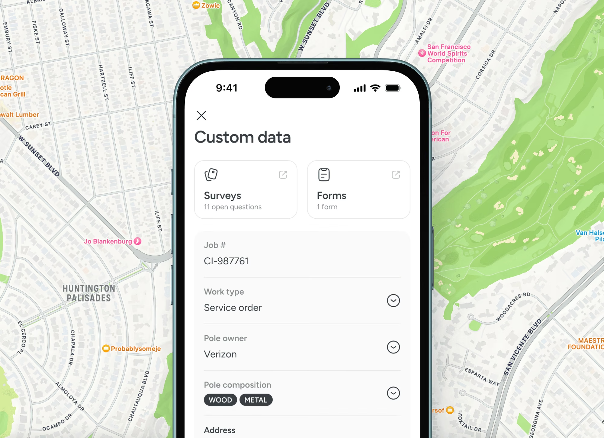
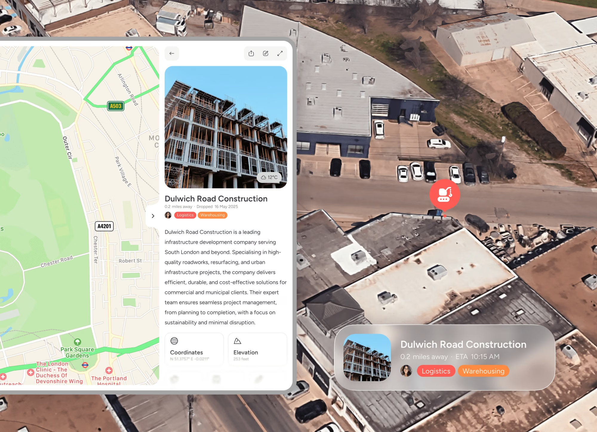
Pin snags, checks and progress.
A snag, an inspection or a progress photo attaches to the exact location on your phone, with the trade and the status. Nothing lands in a chat thread to be lost, and the photo keeps its place for months.
Coordinate the trades and the handover.
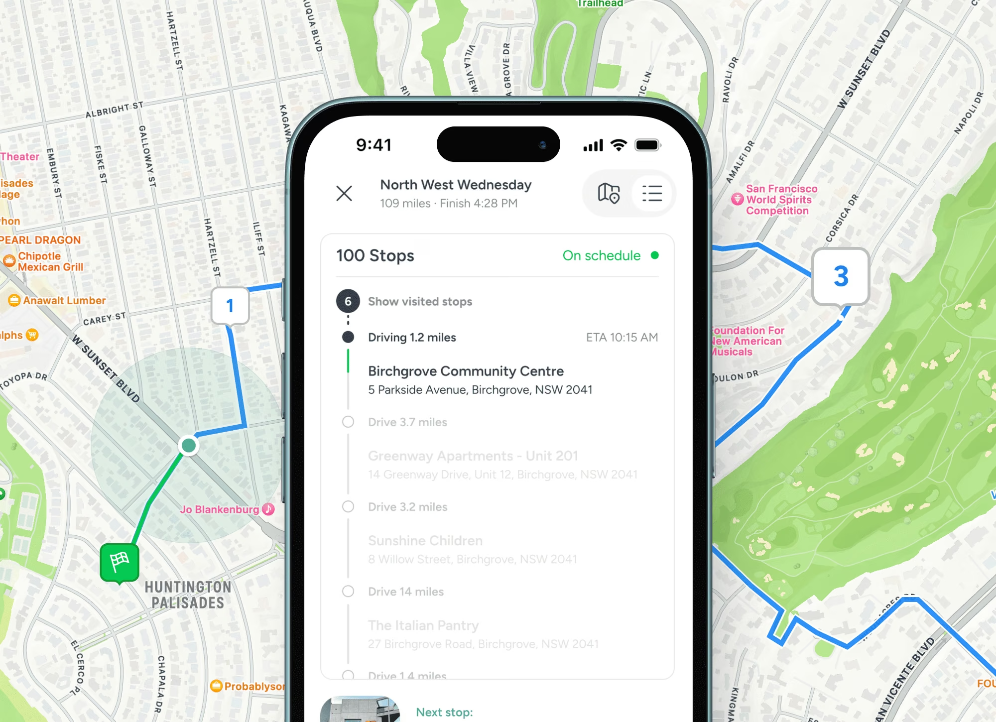
Assign pins by role so a subcontractor sees only their work, track each to closed, and export the located history for handover, as-built and any dispute. Who did what, where and when is already on the map.
Trusted at scale
Used by 10,500+ organisations.
10,000+
Verified organisations
613
At $1B+ revenue
360
10,000+ employees
17+
Sectors represented

Amazon

Nike

Adobe

Oracle

Pfizer

Nestlé

PepsiCo

Mars

Walmart

Whole Foods

M&S

Mastercard

Capital One

Barclays

AT&T

Toyota

Volvo

Bosch

Bayer

BASF

Philips

UPS

Kuehne+Nagel

BT Group

NHS

Abbott

ADP

Cargill

Veolia

Paramount
FAQS
Questions people ask
How does Pin Drop help construction and infrastructure teams?
Pin Drop turns the places your work happens into one shared map. Pin every site, plot or access point, add access notes, plant locations and progress photos, then share the map with the team by role so everyone works from the same picture in the office and out on site.
Can we bring our existing sites, plots and access points into Pin Drop?
Yes. Import your sites, plots and access points from a spreadsheet or another tool, organise them into shared maps and add notes, photos and visits against each pin. It syncs across mobile and desktop.
Does it work out in the field?
Yes. Site crews capture and update pins from their phone, so the office sees progress without a call or an email.
Can we control who sees each site and job?
Yes. Share maps by role so each person sees the sites, plots and access points and detail relevant to them. Managers get the full picture while site teams and subcontractors see the work assigned to them.
How much does Pin Drop cost for construction and infrastructure teams?
Pin Drop is billed per seat, with a 14 day trial that takes no card. The free plan is for personal use, so business use starts on the trial or a paid plan. See the pricing page to find the right fit for your team.
Infrastructure and utilities


