
Ski Patrol & Avalanche Operations
Every path, every closure, on the mountain.
Ski patrol and avalanche teams manage terrain that changes by the hour. Pinning every avalanche path, control route, closure and incident to the mountain keeps the whole team working from one live picture, from first-light control to the final sweep.

Mountain operations built for terrain that moves.
Ski patrol and avalanche teams move at the speed of the weather and the snowpack. Which start zones load on a north-west wind, the control route and the order it is shot, the rope line that moved yesterday, the gully a veteran calls by a name that is on no map. Too often that knowledge lives on a whiteboard in the patrol room and in the heads of the people who have skied it for twenty years. So a morning control route is briefed by radio and memory, a closure is called but not everyone hears it, and when an insurer or a season review asks what was mitigated and when, the record is a logbook someone has to piece back together. Pin every path, start zone, control route and rope line to the terrain, and record the charge placed, the result and the observation where the patroller stands, offline and in the cold. Morning control, daytime response and the end-of-day sweep all run off the same live map, and the season's record is built as the work is done.
Path and control atlas.
Avalanche paths, start zones and control routes pinned to the terrain, with the current rating and the last control result held on each.
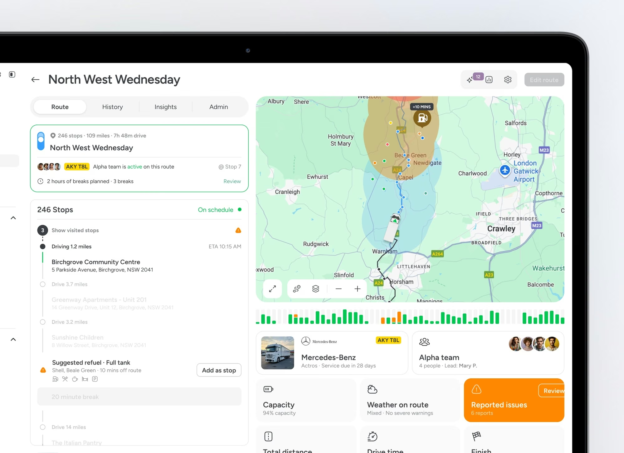
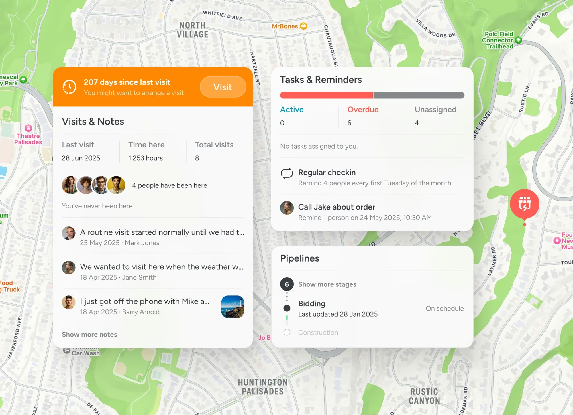
Closures and openings, live.
Rope lines, gates and closures update on the map as terrain opens and closes, so patrol, lifts and guest services all see the same picture.
Incident and rescue record.
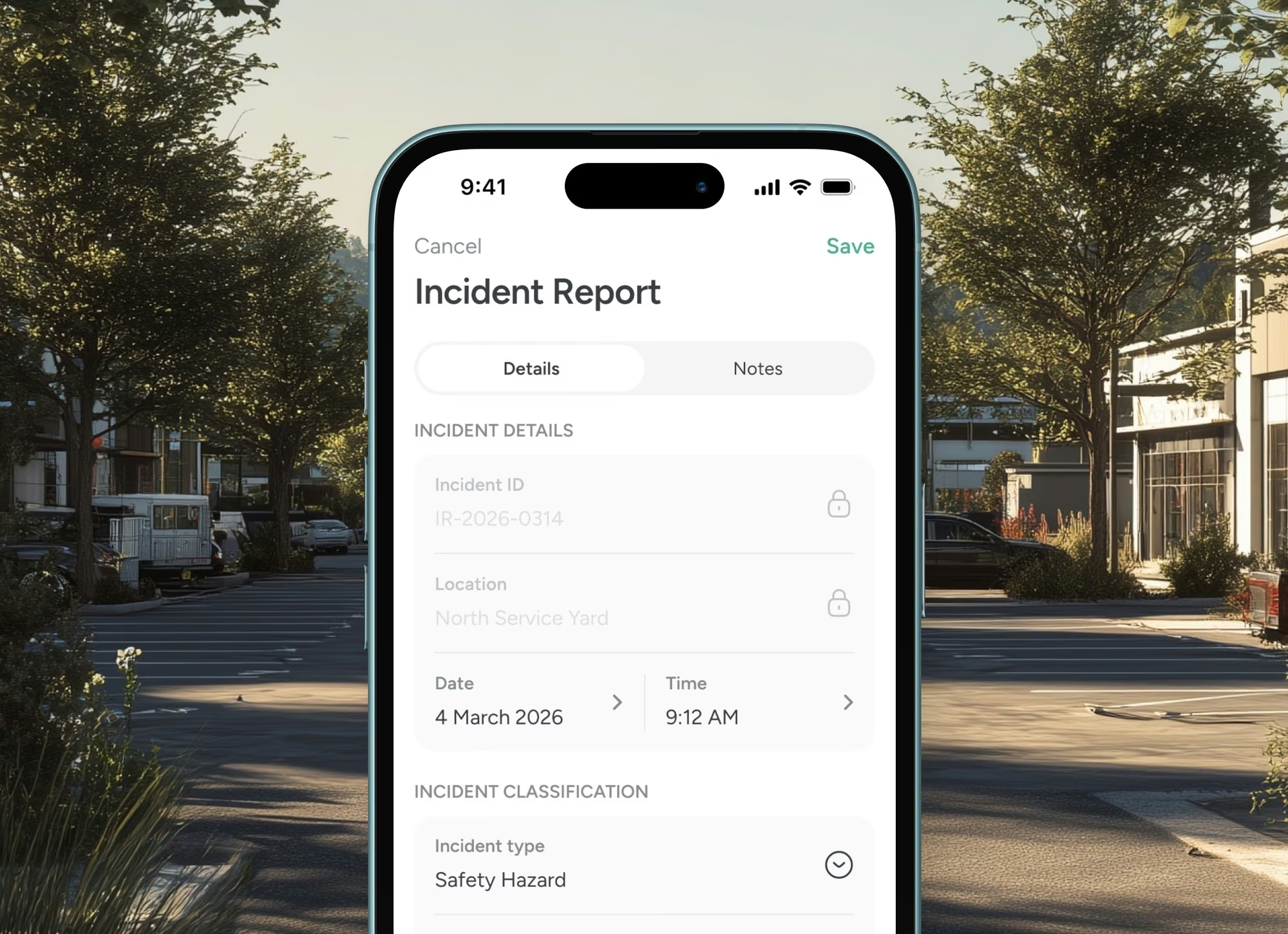
A slide or injury pins to the exact location with time, responding team and outcome. The record is ready for the report and feeds the season review.
Trusted at scale
Used by 10,500+ organisations.
10,000+
Verified organisations
613
At $1B+ revenue
360
10,000+ employees
17+
Sectors represented

Amazon

Nike

Adobe

Oracle

Pfizer

Nestlé

PepsiCo

Mars

Walmart

Whole Foods

M&S

Mastercard

Capital One

Barclays

AT&T

Toyota

Volvo

Bosch

Bayer

BASF

Philips

UPS

Kuehne+Nagel

BT Group

NHS

Abbott

ADP

Cargill

Veolia

Paramount
FAQS
Questions people ask
What can ski patrol and avalanche teams do with a shared map?
Pin every avalanche path, start zone, control route, closure and incident to the terrain it sits on, then work the whole mountain from one shared map. Morning control, daytime response and the end-of-day sweep all run off the same live picture, and the record builds as the work is done.
Can we bring our terrain, paths and control routes in?
Yes. Drop pins for paths, start zones and control routes, or bring in what you already hold, and each carries its rating, notes and the last control result. Your terrain knowledge stops living on a whiteboard and in one veteran's head.
Does it work offline in the alpine?
Yes. Patrollers capture the charge placed, the result, an observation or an incident on their phone where they stand, offline and in the cold, and it syncs when back in range. Nothing waits to be written up in the patrol room.
Can we share it across patrol, lifts and mountain rescue?
Yes. Share the map by role so patrol, lift operations, guest services and mutual aid see the same closures, openings and incidents. What is open and what is closed is never in question across the team.
Does it replace our avalanche forecasting and snow-safety records?
No. It is the shared operational map that holds paths, control routes, closures and incidents, and keeps a timestamped record of control work for a review or an insurer. It sits beside your forecasting and snow-safety systems, it does not replace them.
Land, environment and outdoors


