
Environmental Monitoring & Conservation
One shared map for the sites and survey points you monitor.
Give the field team the survey points, access and history for every site on one map that works offline. Capture observations and readings where you stand, so nothing gets re-keyed and every point is easy to find again.


Every site, point and observation, in one place.
Field monitoring runs on knowing the ground. Where last season's quadrats sit, the transect that runs off the path, the access across private land, what the reading was the last time anyone stood there. Too often that lives on paper field sheets and a separate GPS unit. So a crew spends the morning hunting for a monitoring point that should have taken minutes, data is re-keyed back at the office and errors creep in, and heavy GIS is too much to put in every field-worker's hands. Put every site and survey point on the map with its notes, photos and readings on the pin, and capture offline where the signal drops. Walk back to the exact quadrat, log the observation where you stand, and export clean points into the GIS you already run.
Map every site and survey point.
Lay out sites, transects and sampling locations as pins, each carrying its access, its history and the readings from last time. A crew arriving for a revisit walks straight to the point, not somewhere near it.
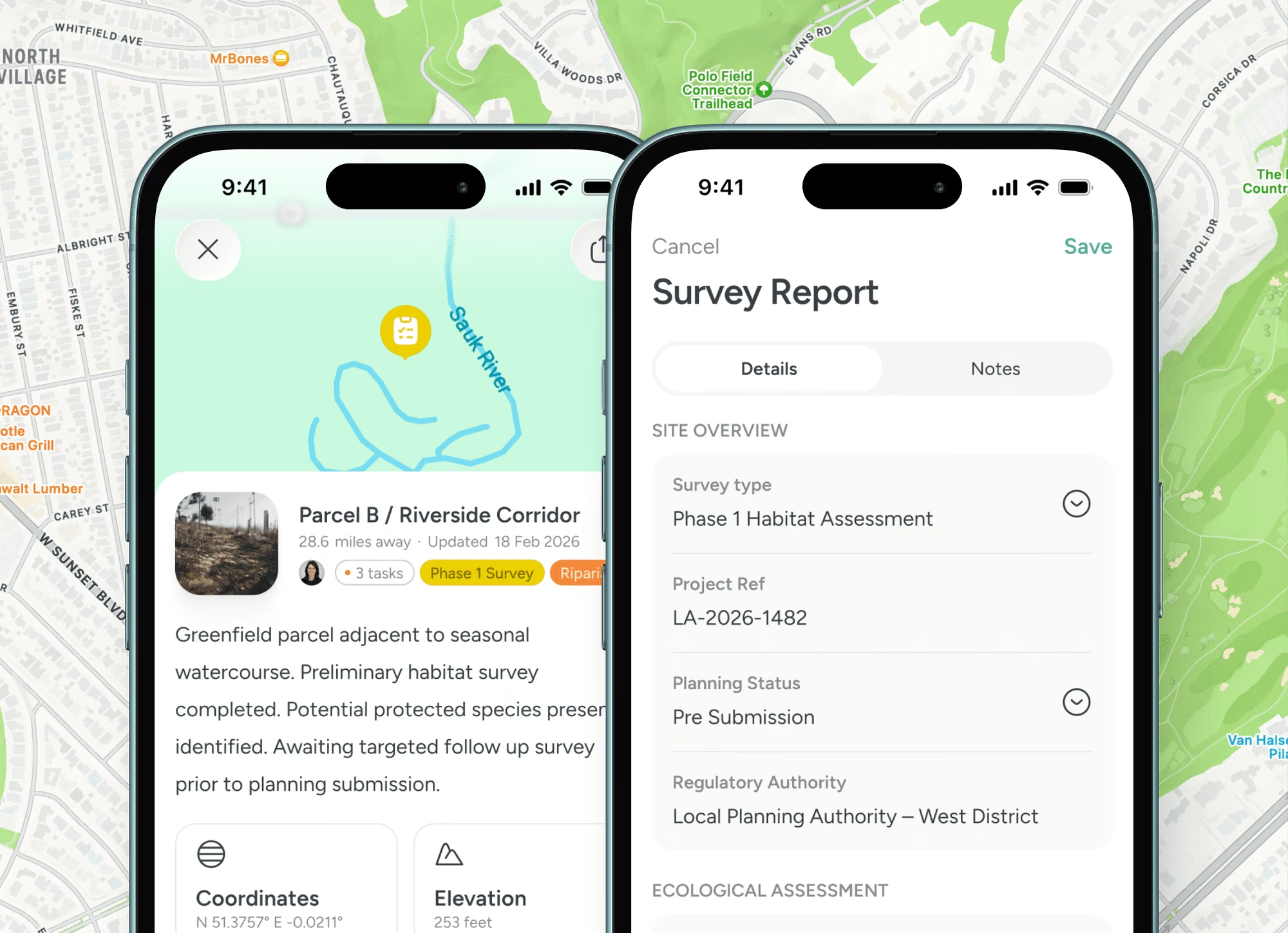
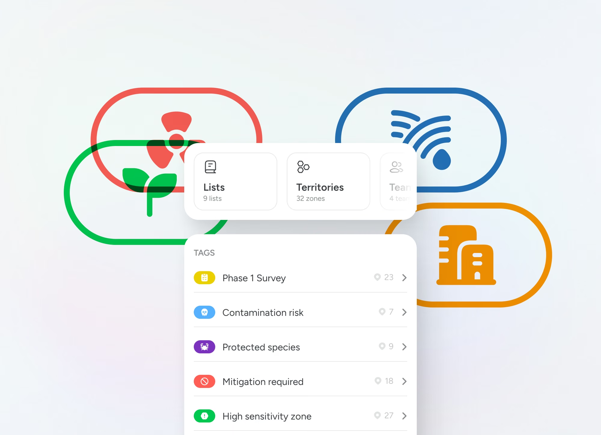
Capture observations where you stand.
Species, habitat, readings and geotagged photos attach to the point on your phone, offline, and sync when you are back in range. No paper field sheet, no re-keying, no data lost on the drive home.
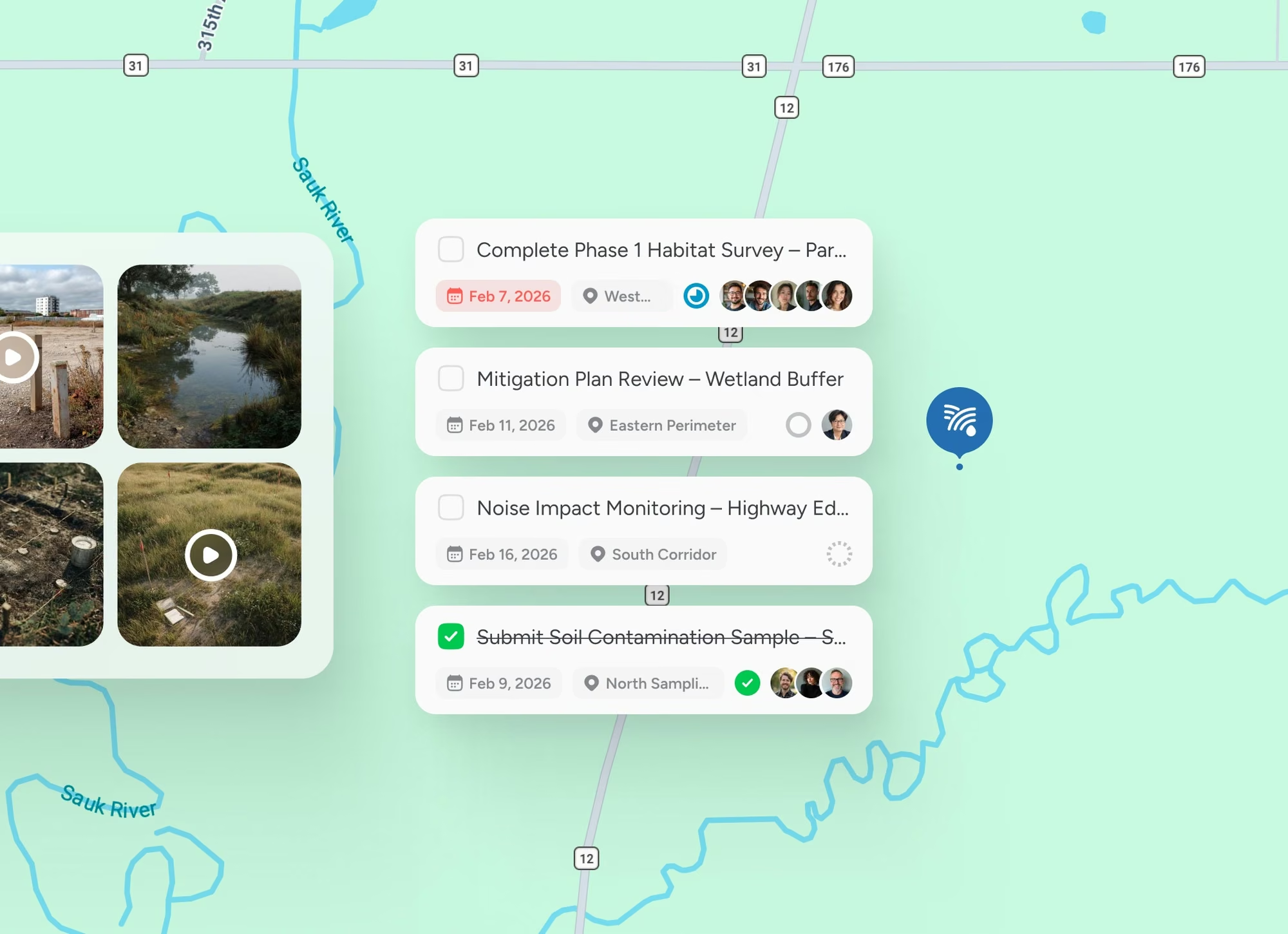
Coordinate the team and the data.
See who has covered what across dispersed sites and share the map by role, then export clean points into ArcGIS or QGIS. The map is the field layer, the heavy analysis stays where it lives.
Trusted at scale
Used by 10,500+ organisations.
10,000+
Verified organisations
613
At $1B+ revenue
360
10,000+ employees
17+
Sectors represented

Amazon

Nike

Adobe

Oracle

Pfizer

Nestlé

PepsiCo

Mars

Walmart

Whole Foods

M&S

Mastercard

Capital One

Barclays

AT&T

Toyota

Volvo

Bosch

Bayer

BASF

Philips

UPS

Kuehne+Nagel

BT Group

NHS

Abbott

ADP

Cargill

Veolia

Paramount
FAQS
Questions people ask
How does Pin Drop help environmental monitoring and conservation teams?
Pin Drop turns the places your work happens into one shared map. Pin every survey site, sample point or habitat, add readings, species notes and site photos, then share the map with the team by role so everyone works from the same picture in the office and out on site.
Can we bring our existing survey sites, sample points and habitats into Pin Drop?
Yes. Import your survey sites, sample points and habitats from a spreadsheet or another tool, organise them into shared maps and add notes, photos and visits against each pin. It syncs across mobile and desktop.
Does it work out in the field?
Yes. Surveyors record findings against the exact point in the field, even where there is no signal, and it syncs later.
Can we control who sees each site and job?
Yes. Share maps by role so each person sees the survey sites, sample points and habitats and detail relevant to them. Managers get the full picture while field ecologists and surveyors see the work assigned to them.
How much does Pin Drop cost for environmental monitoring and conservation teams?
Pin Drop is billed per seat, with a 14 day trial that takes no card. The free plan is for personal use, so business use starts on the trial or a paid plan. See the pricing page to find the right fit for your team.
Land, environment and outdoors


