
Snow Plough & Gritting Route Management
Every route, every storm, on the network.
Winter maintenance teams have hours to clear, salt and respond. Pinning every plough route, gritter run and storm event to the road or property keeps the operation defensible to insurers, councils and clients.

Snow and ice management, built for the route and the storm.
Snow and ice management moves at the speed of the weather, and the plan you set in autumn gets rewritten with every forecast. Which roads are the precautionary network, the order a route is run, the grit bin that always empties first, the client site that needs a pass before it opens. Too often that lives on paper route cards and in the duty officer's head. So a relief driver cannot run the round, a bin sits empty until a complaint comes in, and when a slip-and-fall claim lands months later the proof that a road or a car park was treated is a gap between the snowfall and the log. Pin every plough and gritting route, salt bin and site to the network, and log the run, the refill and the treated area on site, offline in the cab. When a route has to be re-sequenced at 9pm because a truck is down, the whole crew works from the same map, and every salted road and cleared site carries a timestamped record for payroll and for the claim.
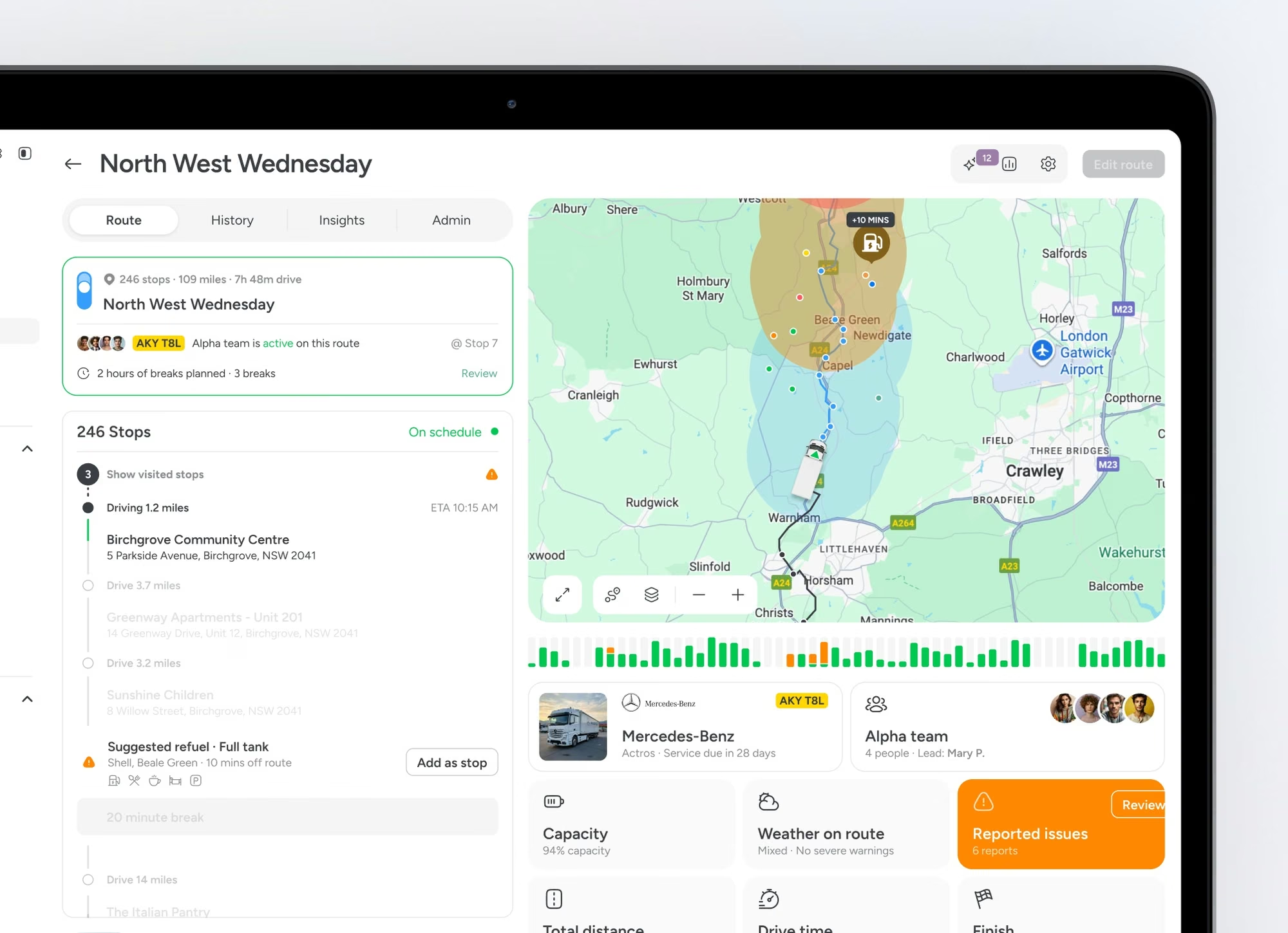
Route library.
Plough and grit route plans pinned to the road network with priority and crew assignment.
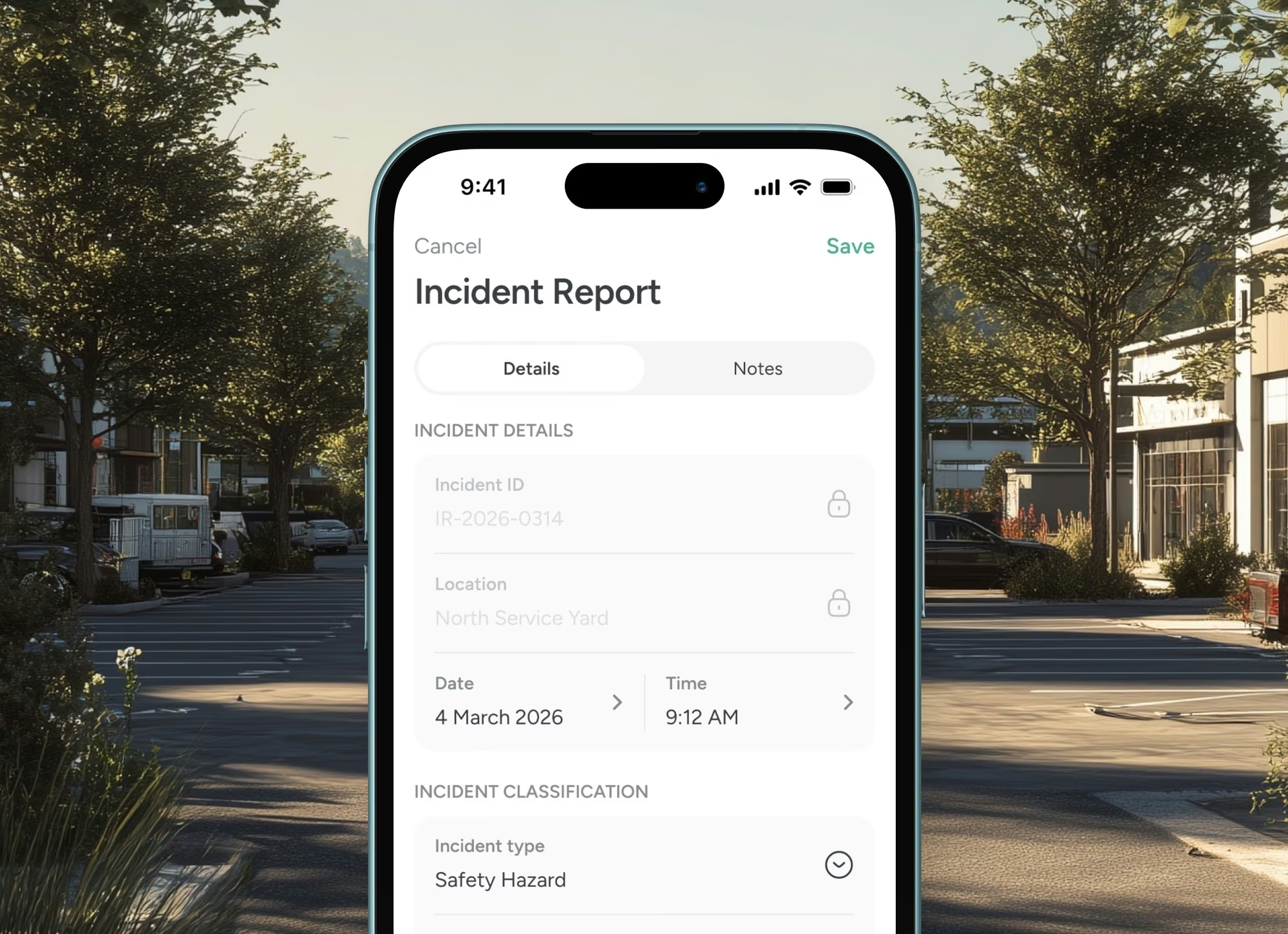
Storm response log.
Each call-out captures forecast, dispatch and outcome. Mileage and material usage roll up to the storm record.
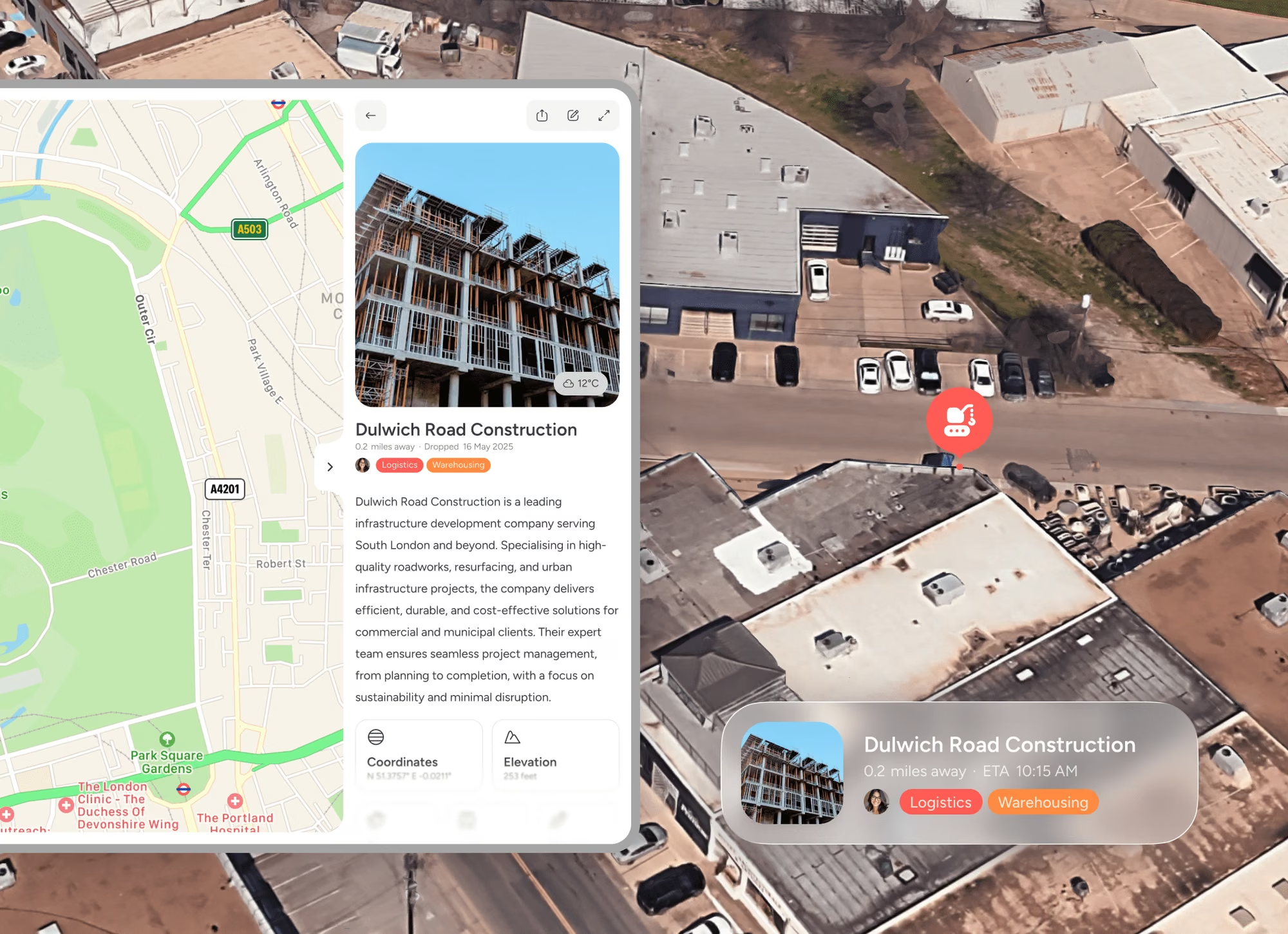
Slip-and-fall evidence.
When a claim lands, the route record sits on the road with treatment timing and crew assignment.
Trusted at scale
Used by 10,500+ organisations.
10,000+
Verified organisations
613
At $1B+ revenue
360
10,000+ employees
17+
Sectors represented

Amazon

Nike

Adobe

Oracle

Pfizer

Nestlé

PepsiCo

Mars

Walmart

Whole Foods

M&S

Mastercard

Capital One

Barclays

AT&T

Toyota

Volvo

Bosch

Bayer

BASF

Philips

UPS

Kuehne+Nagel

BT Group

NHS

Abbott

ADP

Cargill

Veolia

Paramount
FAQS
Questions people ask
What can winter maintenance teams do with a shared map?
Pin every plough and gritting route, salt bin, treated area and storm call-out to the road or site it covers, and run the operation from one shared map. The crew sees where treatment landed and where it did not, and every run carries a timestamped record.
Can we bring our routes and grit bins in?
Yes. Lay your precautionary and secondary routes, salt bins and depots onto the map, each with its priority, crew and refill cycle. The round stops depending on paper route cards and one supervisor's memory.
Can drivers log runs offline in the cab?
Yes. Drivers mark treated roads, refills and runs on their phone as they go, offline on a rural round, and it syncs when back in signal. A relief or agency driver runs the round the way the supervisor knows it.
Does it give proof of treatment when a claim lands?
Yes. Every salted road and cleared site carries a timestamped, photo-backed record of when it was treated and by whom, so when a slip-and-fall or crash claim lands months later the proof sits on the road, not in a gap in the log.
Is it a gritter telematics or road-forecasting system?
No. It is the shared operational map that plans routes, coordinates drivers and proves treatment. It sits beside your spreader control, telematics and road-forecast tools, it does not replace them.
Logistics and transport


