Environmental Surveys & Land Assessment
Make every survey site measurable
Map environmental survey locations, track land assessments and structure inspection records in one system designed for regulatory and field based teams.


BEST OF 2013
Rated 4.7/5


FEATURED APP

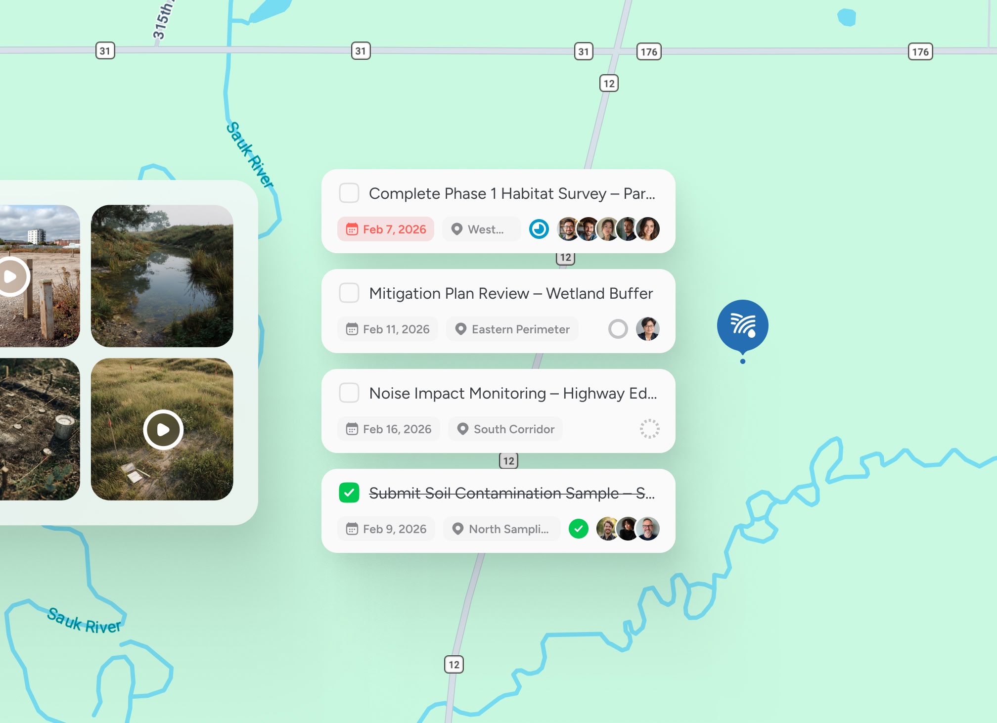
Map every survey site
Assessment locations and land parcels sit in one structured system rather than scattered reports.

Tie data directly to place
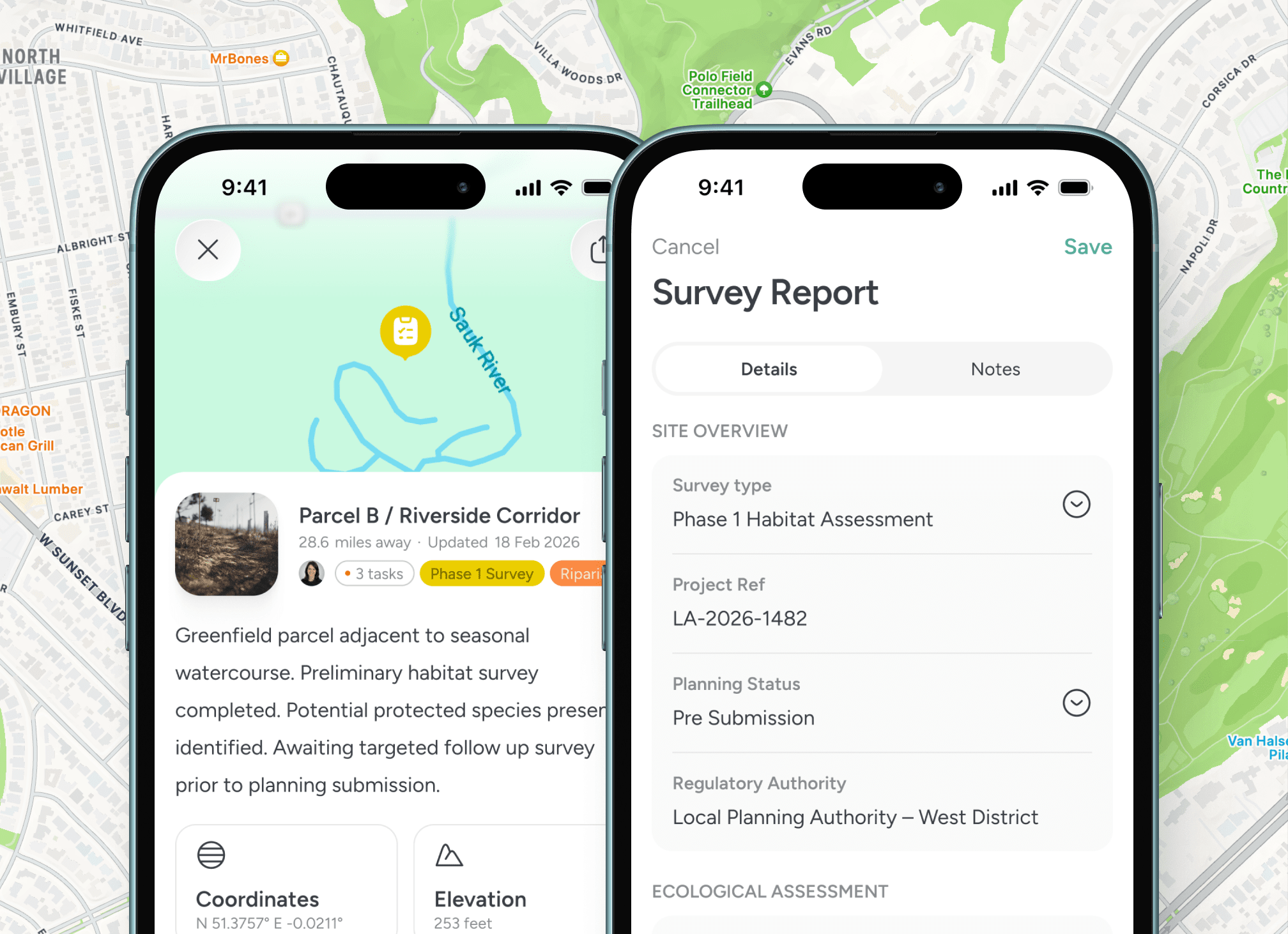
Observations, sampling records and inspection notes remain anchored to specific coordinates.

Define project territories
Field teams and subcontractors operate within clearly structured geographic zones.

Maintain defensible records
Survey history and compliance documentation remain organised for audit and reporting.
Built for regulated field operations
Location anchored environmental oversight

Structured evidence across land and sites
Environmental assessment relies on accurate site definition, repeat inspections and defensible documentation. Every parcel becomes a mapped record. Every observation is tied to coordinates. Every project remains measurable across geography.


Testimonials
Trusted by environmental consultants and assessment teams
Teams responsible for land surveys, ecological inspections and regulatory compliance.


“Survey data tied directly to site coordinates improved our audit readiness.”

Dr. Laura Bennett
Environmental Survey Lead
“We now manage multiple parcels without losing oversight across regions.”
Miguel Alvarez
Land Assessment Manager
“Inspection history structured by location strengthened our reporting process.”
Sophie Klein
Regulatory Compliance Specialist
Guided walkthrough
Structure every survey site and assessment record
If your team manages environmental surveys, ecological assessments or land compliance projects, explore how a location based system can strengthen oversight and defensibility.


