Property Development & Site Planning
One shared map for property development and site planning
Track development opportunities, site visits and planning activity across regions using a structured workspace organised by location.


BEST OF 2013
Rated 4.7/5


FEATURED APP

See every opportunity in context
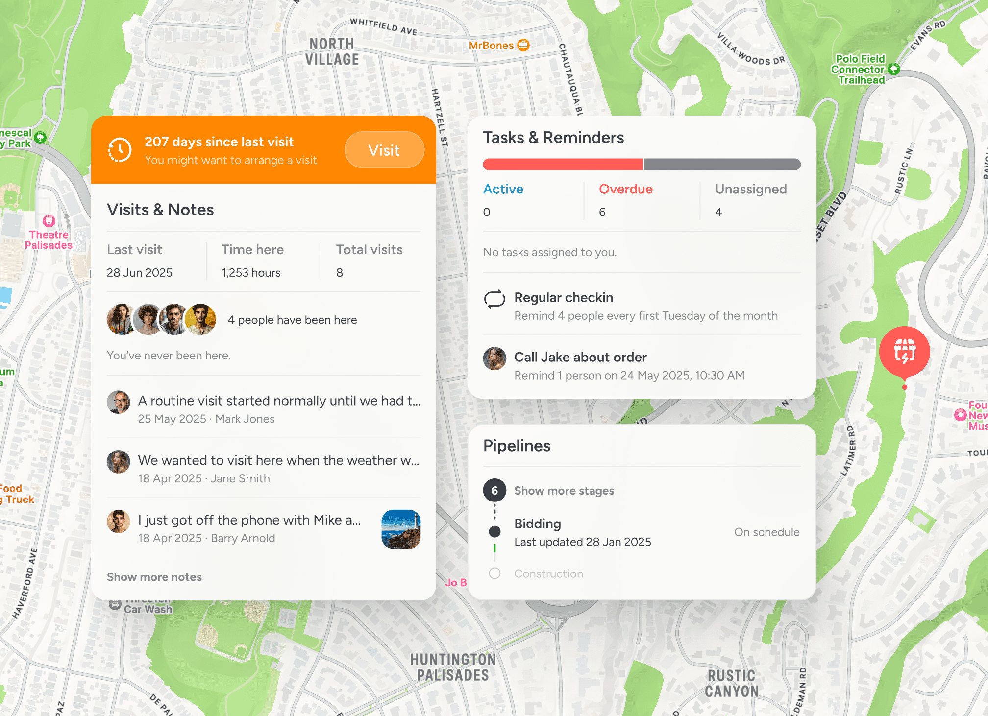
When evaluating sites across regions, information quickly becomes fragmented. A shared map keeps each opportunity organised and visible.

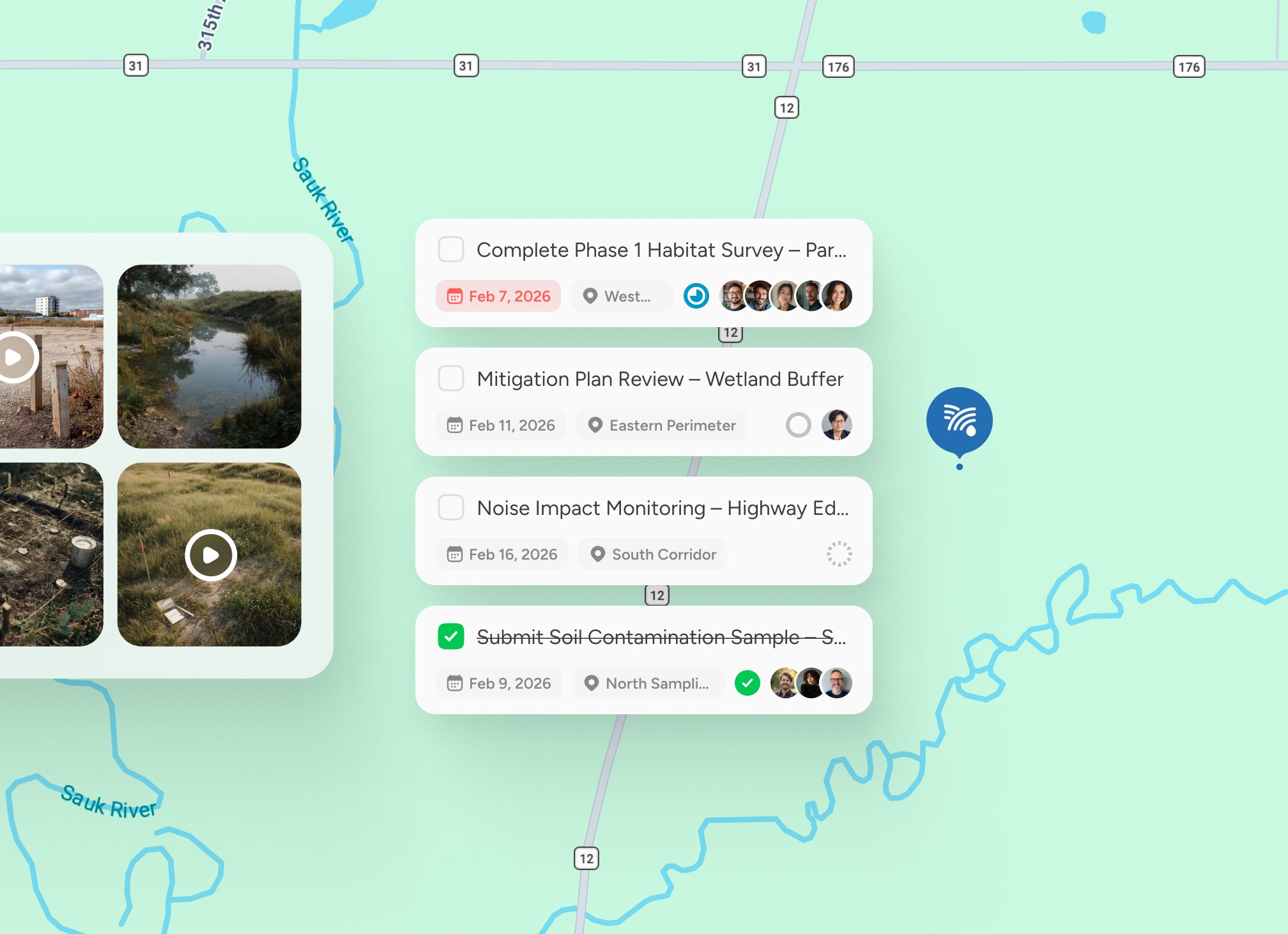
Log site visits where they happen
Notes, photos and research remain tied directly to the location.

Compare development opportunities
Visualise potential sites across towns, cities and regions.

Maintain structured planning records
Keep a clear history of site visits, research and planning decisions.
Structured development planning
Organise development sites and planning activity by location

Location-based site intelligence
Every potential development site, visit and research note is anchored to place, giving development teams a clear view across opportunities.


Testimonials
Used by teams evaluating development opportunities
Property developers rely on location-based visibility to track site visits and planning activity across projects.


“Mapping potential sites has made it much easier to track opportunities across regions.”

Sarah Mitchell
Development Manager
“Logging site visits directly against the location keeps our research organised.”
Daniel King
Land Acquisition Lead
“We finally have visibility across potential developments without relying on scattered notes.”
James Rice
Property Investment Director
Guided walkthrough
See property development planning on a shared map
Explore how location-based coordination can improve visibility across development sites and planning activity.


