Public Safety & Emergency Response
Coordinate emergency response with precision
Coordinate incidents, response sites and operational activity across regions using a structured workspace organised by location.


BEST OF 2013
Rated 4.7/5


FEATURED APP

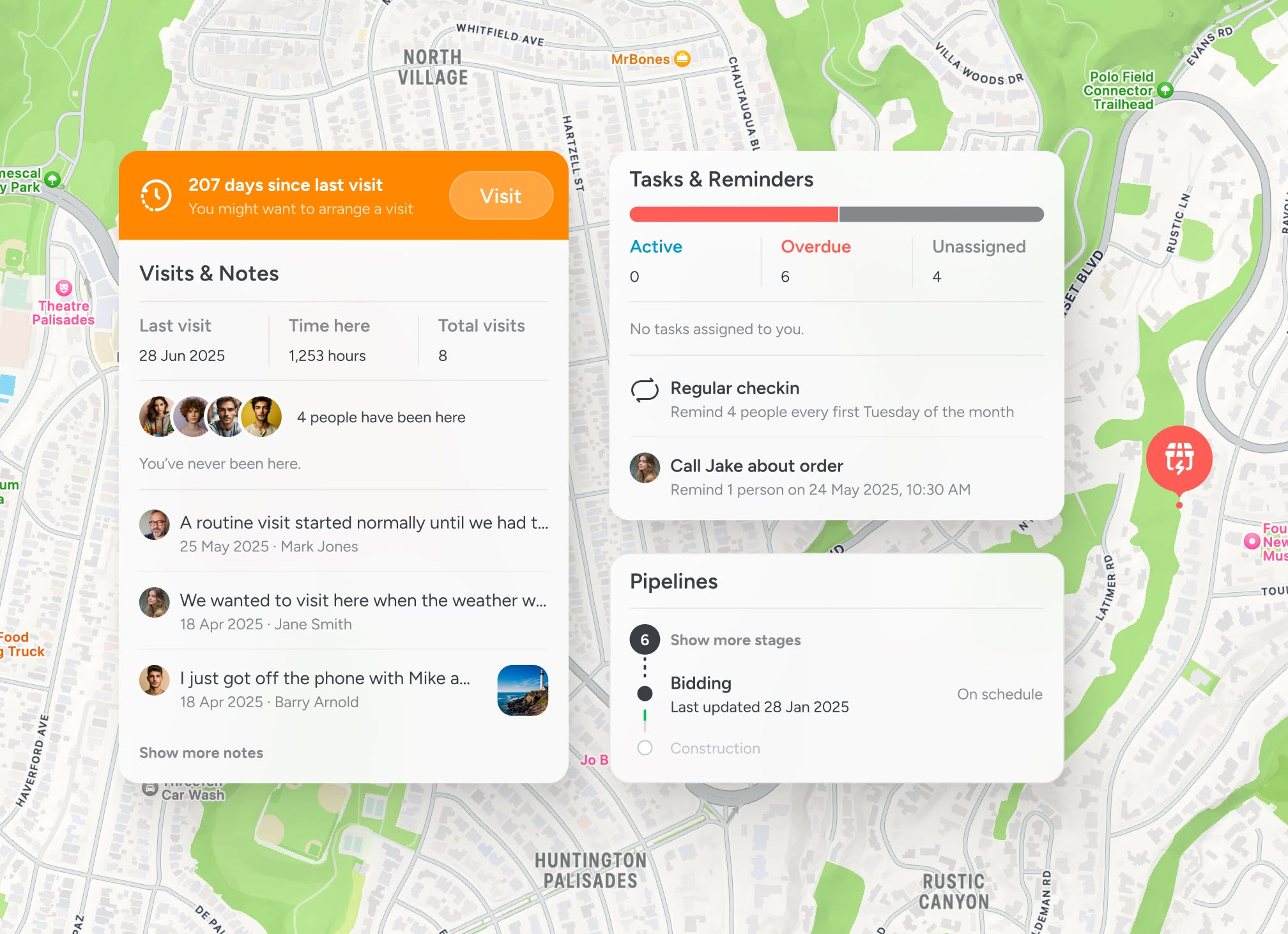
See incidents and sites in context
When response activity spans large areas, coordination becomes harder. A shared map keeps every location structured and visible.
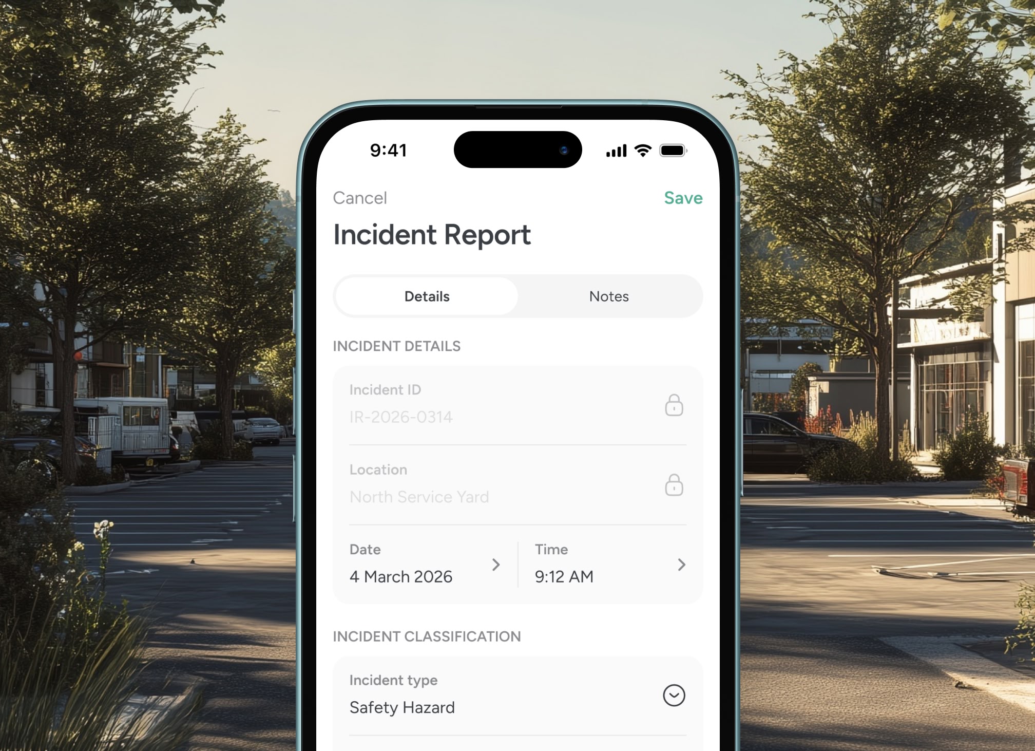
Log activity where it happens
Updates, observations and field notes remain tied directly to the location.

Coordinate teams across regions
Assign responsibilities by site to avoid duplication and missed coverage.

Maintain defensible operational records
Keep a structured record of response activity tied directly to each incident location.
Structured incident coordination
Organise response activity by location

Location-based operational visibility
Every incident, site and update is anchored to place, giving response teams a structured operational view across the region.


Testimonials
Used by teams coordinating field response operations
Public safety leaders rely on location-based visibility to coordinate incidents and maintain operational oversight.


“Structuring response zones around geography improved our operational oversight.”

Elena Martinez
Regional Emergency Operations Manager
“Logging updates directly against locations keeps our operational record organised.”
Sara King
Disaster Response Lead
“We have far better visibility across response areas without relying on multiple tools.”
Max Powers
Search and Rescue Coordinator
Guided walkthrough
See emergency response coordination on a shared map
Explore how location-based coordination can improve operational visibility across public safety and emergency response teams.


