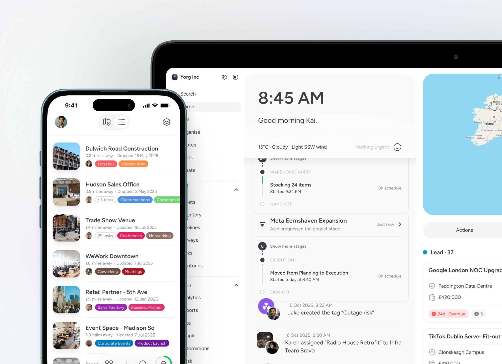
A shared map for public and civic operations
Coordinate sites, services and field teams in one shared workspace. Reduce miscommunication, improve coverage and keep departments aligned as priorities change.


BEST OF 2013
Rated 4.7/5


FEATURED APP

Changing public needs
Community priorities shift quickly. New requests, complaints or incidents need to be reflected across teams immediately.

Cross-department coordination
Multiple departments manage overlapping locations and responsibilities. Without a shared view, work gets duplicated or missed.

Limited visibility in the field
Managers need to understand what’s happening on the ground without chasing updates across emails, calls and spreadsheets.

Compliance and accountability
Inspections, maintenance and public services must be documented clearly, with a reliable record of what was done, where and when.
Built for public service in motion
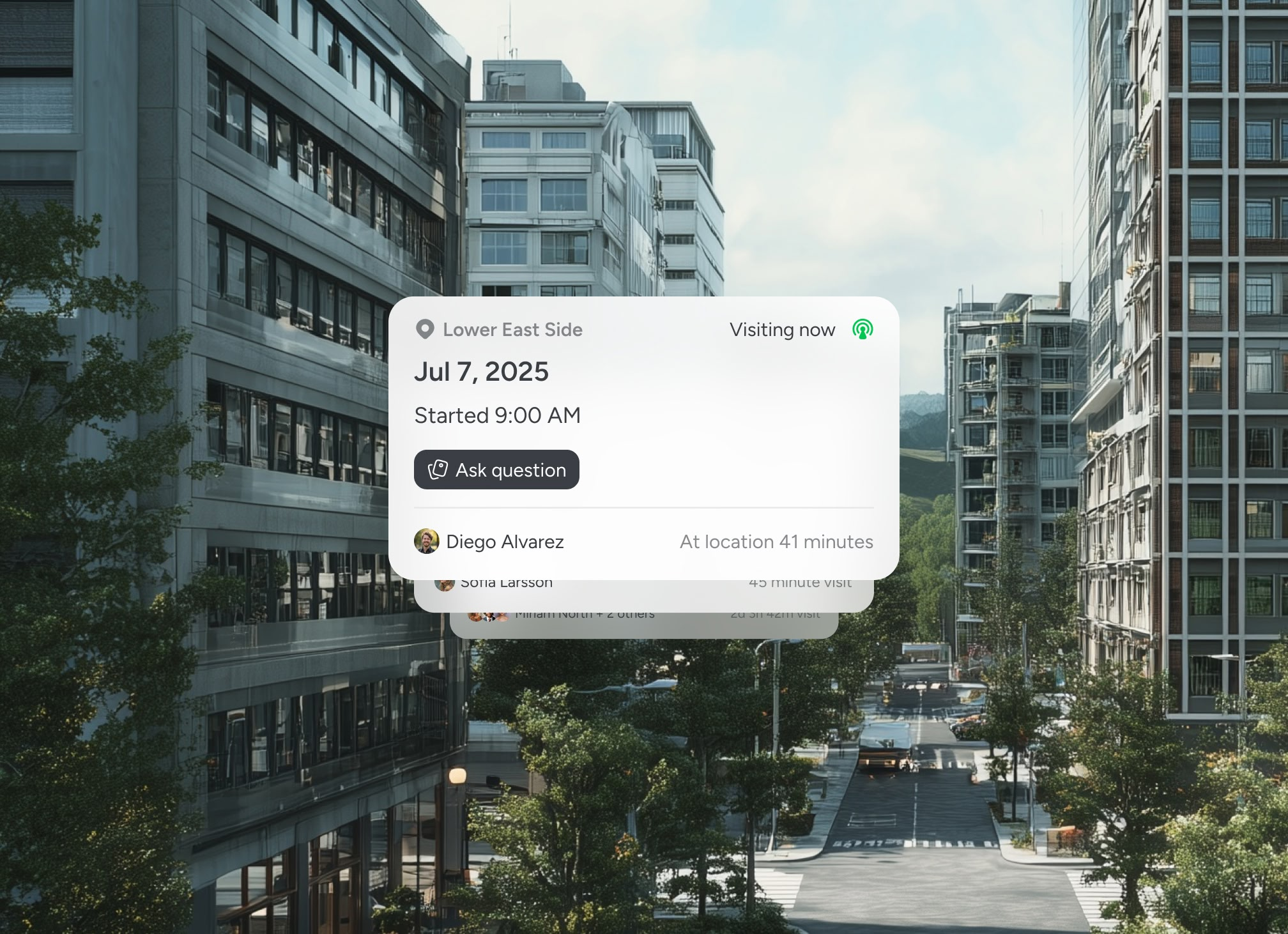
Coordinate public services on one shared map

Priorities don’t stay fixed
Emergencies arise. Inspections move up the list. Teams reassign coverage across districts. Updates need to be visible instantly.


Testimonials
Trusted by public and civic operations teams
Local authorities and public service teams rely on structured, location-based visibility to improve coordination, protect accountability and maintain oversight across communities.


“When teams rotate, the next shift knows exactly where to pick up from.”

Carlos
Utilities Operations Supervisor
"We use Pin Drop to track trials, scout fields, and assign work across different regions. Our reps love how visual it is. They’ve even ditched Google Maps."

Hassan Ali
Ops Director
“It gives me a clear picture of what’s actually happening, not what was planned earlier in the day.”
Rachel
Operations Manager
Guided walkthrough
See how public teams coordinate work on one shared map
Book a walkthrough to explore how Pin Drop brings sites, services and field teams together in one live workspace. No pressure, just a practical look at how it could fit your operations.


