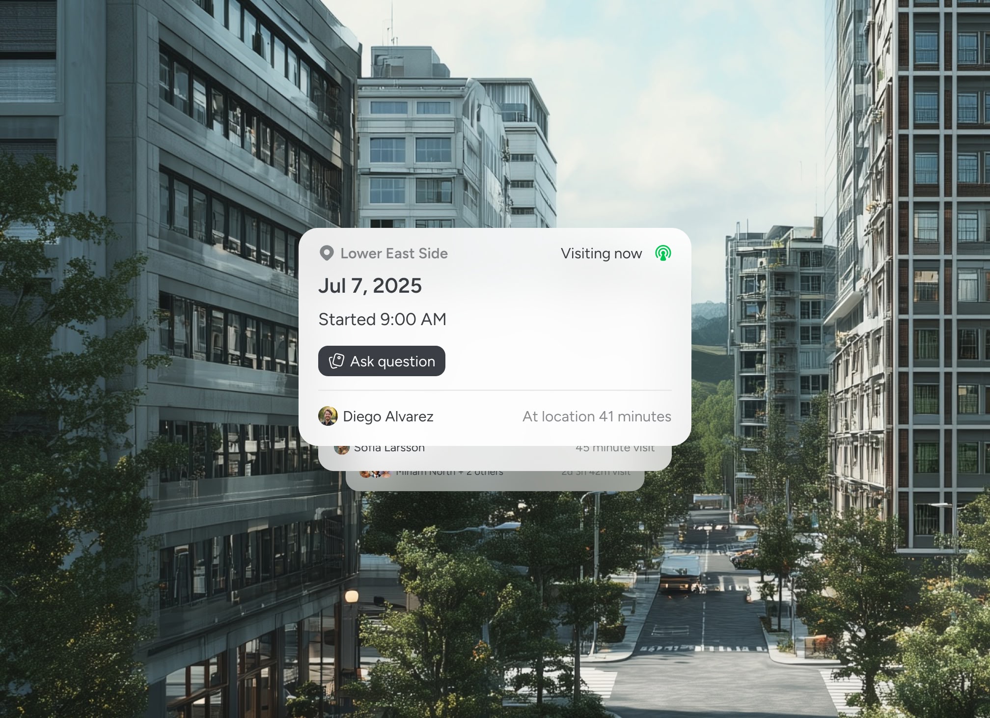
Pin every utility run, every Quality Level, every scan
PAS128 certified surveyors, civils engineers and dial-before-you-dig contractors use Pin Drop to pin GPR scans, electromagnetic traces and Quality Level evidence to the exact run.


BEST OF 2013
Rated 4.7/5


FEATURED APP

GPR scans on the pin
Ground penetrating radar scans pin to the trace with depths, frequencies and operator notes. No scan orphaned from the run it found.

Electromagnetic detection traces
EM traces, cable avoidance readings and signal strength notes attach to each utility run. Evidence for Quality Level B sits where the trace was taken.

Quality Level A, B, C, D evidence
PAS128 Quality Levels record against each segment of each utility. Verification, detection, records-only and desktop classifications are obvious at a glance.

HSG47 compliance and CAD deliverables
HSG47-compliant records feed a CAD-ready deliverable for the civils team. Contractors dig to a record they can trust, not a best-guess overlay.
Built for PAS128 surveyors
Utility surveys work better when every run is a pin

The shared map for utility surveys
A utility strike costs more than any survey fee. PAS128 demands Quality Level evidence at the point of detection, yet too many surveys arrive as colour-coded lines with no scan behind them. Pin Drop keeps GPR scans, EM traces and Quality Level evidence on the exact run they describe, so the contractor, the civils engineer and the project manager all see the same record before any spade hits the ground.


Testimonials
Used by PAS128 surveyors and civils contractors
Utility surveyors and civils engineering contractors rely on location-based scan evidence to hold Quality Levels and reduce the risk of a utility strike.


“Hydrant records are now tied directly to location. Oversight across service zones has improved significantly.”

Michael Andersen
Municipal Water Infrastructure Manager
“We finally have visibility across infrastructure activity without scattered reports.”
Tom Taylor
Network Maintenance Lead
“Logging inspections directly against each asset keeps everything organised.”
Rachel Smyth
Infrastructure Engineer
Guided walkthrough
See how utility surveys work in practice
Walk through a real PAS128 survey and see how every scan, every trace and every Quality Level stays pinned to the utility run it describes.


